
I generally use the Strava route planner for pre-ride planning and Trail Forks for navigating while riding. But, what’s out there for exploring paths and dirt around Melbourne beyond the standard Strava (strava.com/maps), Komoot (komoot.com/discover), and Trail Forks (trailforks.com/trails/map) maps?
VicBUG
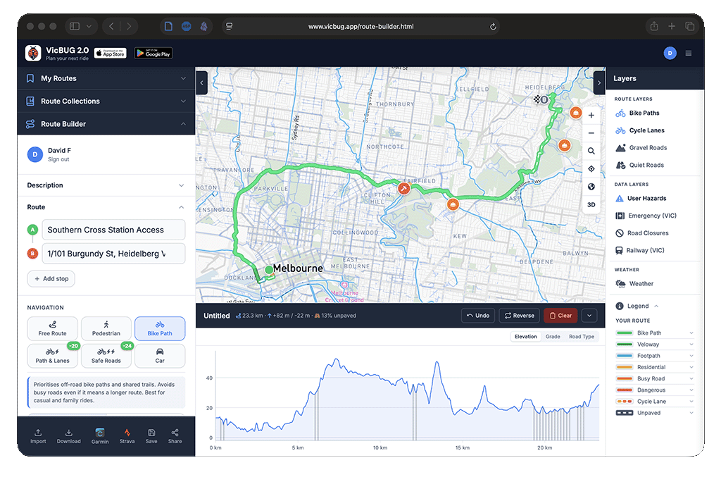
The relatively new vicbug.app and their web app (vicbug.app/route-builder.html) offers significantly more detail and insight into the types of cycling infrastructure available throughput the area and along any chosen route. I heard about this one on the YarraBUG Show on 3CR (3cr.org.au/yarrabug). I’ve noticed some missing trails and paths and the routing often leaves a lot to be desired, but the app seems to be updated fairly regularly and continues to improve.
wandrer.earth
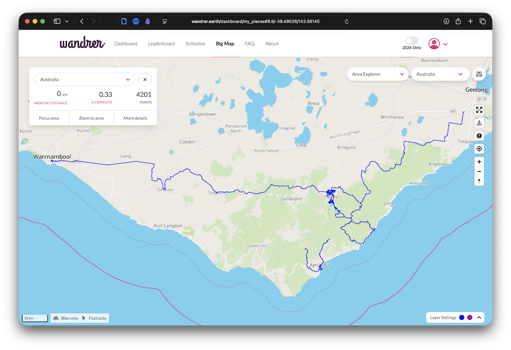
I have been using Wandrer (wandrer.earth) for many years. This one is more fun for tracking how much of your neighbourhood or region you’ve covered by bike. Remember burbing? I seem to remember there was a great piece from Andy Van Burgen and/or Matt De Neef on the now-defunct Cycling Tips, but that now seems to be swallowed by Velo. The Bicycle Network references their articles in a brief explainer, The ‘burbing’ phenomenon.
Melbourne Bike Paths and Trails as a Transit-style Map
Finally, I came across this transit-style cycle map of Melbourne bike/shared paths and trails (reddit.com/r/melbournecycling/…). I’m not sure of the exact use case for this one, but it’s fun and interesting to see the network represented in this way.
Leave a Reply